From Dave Brigham:
Welcome to my second "redux" post about Clinton, Mass. In the first one, I wrote about some of the Worcester County town's mills and associated sites (see August 5, 2023, "Clinton Redux: Mills and Industrial Sites"). That post went live more than seven years after my first review of this town (see January 27, 2016, "Finding Hope, But Losing a Mainstay, in Clinton").
In this post, the first several photos featured are ones I took in 2015 and 2019. The dozens of photos that follow the historic firehouse are shots I made this past April. I will feature great old buildings from Clinton's main retail strip, as well some ghost signs, a fantastic fire station, the Wachusett dam, a theater, a social club and much more.
Let's start with perhaps the defining feature of Clinton, the Wachusett Dam.

Built between 1897 and 1905 at the southern end of Clinton, the dam impounds the Nashua River above the town. The dam -- 205 feet high and 965 feet across -- is part of Greater Boston's water system, and is maintained and controlled by the Massachusetts Water Resources Authority. When it was completed, the reservoir behind it was the largest public water supply reservoir in the world, per Wikipedia. At that time, the Wachusett Reservoir Dam was the largest gravity dam in the world as well. The Wachusett Reservoir is now the second largest body of water in Massachusetts, after the Quabbin Reservoir.

As was the case with the Quabbin, and other reservoirs around the globe, in advance of completion and the flooding of the area, residents and businesses had to move, and homes, churches and other buildings had to be demolished or abandoned. "[A] railroad tunnel and trestle had to be built in order to relocate the Central Massachusetts Railroad," per Wikipedia, "and over four thousand bodies had to be dug up and moved in the local Catholic cemetery."
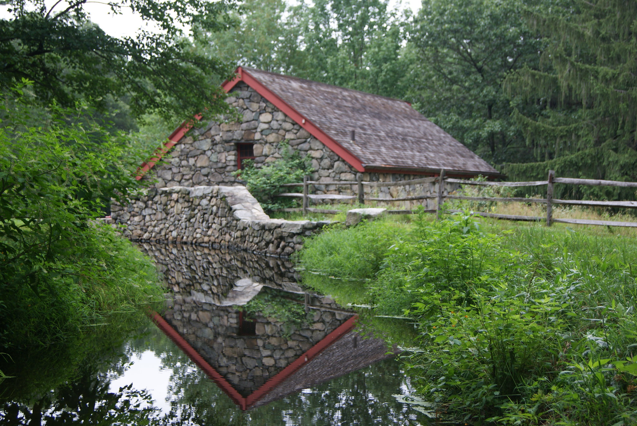
I explored the long-abandoned railroad tunnel during my first visit to Clinton several years ago. The trestle mentioned in the above paragraph was eventually torn down; remnants of the structure can be seen in the photos below.


Construction of the dam brought thousands of immigrants to Clinton and surrounding towns. Those workers helped the town grow and provided labor for the numerous mills that I wrote about in my last post. One of the places where those workers and others would have shopped during the first seven decades of the 20th century was the White Eagle Market on Green Street.

Located just around the bend from the main Lancaster Mills complex, the store -- abandoned since 1968, according to MACRIS -- was built around 1900 by the factory owners. The store would have provided grocery staples for the workers, as well as entertainment. "Until about 1950 there was a poolhall and shoeshine stand on the second floor," MACRIS continues. It was quite common for mill owners to maintain not only stores but also housing for their employees.
A little further east-northeast along Green Street is Polish American Veterans Post 292, a place where mill workers surely hung out.

"The PAV in Clinton, MA. was created in 1947 by a group of Polish veterans returning from WW II who wanted to perpetuate camaraderie, friendship and charity," according to the group's web site.
Heading west into downtown, at the corner of Church and Main streets sits a historic firehouse.

Built in 1898, "The Clinton Old Central Fire Station is an impressive example of a Classical Revival style building...making use of numerous architectural elements including polychromatic brick, a large, square...tower, and an enclosed pediment on the gable end with a denticulated, projecting cornice," per MACRIS. "In 1919, the fire station had both a horse drawn and a motor drawn fire engine....In 1988, a new fire station was constructed immediately to the northwest of the Old Clinton Fire Station and fronts Main Street. After the new Clinton Fire Station was constructed, ownership of the Old Central Fire Station was transferred to the School Department. It is currently used as a storage space for the Parks and Recreation Department."
That MACRIS report dates to 2016, so I'm not sure if the old station is still used by the town's parks department.
OK, now I'll get to the photos I took on my most recent swing through town.
I started my latest tour at Lou's Diner, at the intersection of Grove and Chestnut streets.

This eatery was built by the Worcester Lunch Car Company in the late 1920s or 1930, according to MACRIS. It is one of the earliest diners in Massachusetts; it was remodeled in the mid-1950s. The restaurant is also home to Turini's Catering, which I assume occupies the back half of the building.

According to MACRIS, "the diner is significant architecturally and historically as a 1920s Worcester lunch car that the company remodeled in the 1950s. The diner displays design elements and materials from both periods, making Lou's of exceptional significance at the state and local levels. Locally, Lou's Diner is the last prefabricated diner in Clinton, and part of a long legacy of lunch wagons and diners in the community."
The diner, however, hasn't spent its entire life in Clinton. In 1968, Louie Turini, local restaurateur and food service manager for the town's schools, "bought an existing diner once located on Route 13 in Townsend," according to this Telegram & Gazette article. "Called the Mayor’s Lunch, it had been operated by the former mayor of Fitchburg, George Bourque. Louie had it moved to Clinton by Carl Mathews and it caused quite a scene when it was delivered on a flatbed to that busy corner."
About 200 feet due west of the diner is Iglesia Movimiento Pentecostal (Pentecoastal Movement Church).

The building dates to 1930, according to the assessor, and appears to have been a church since at least 1980. I'd like to know if it served another purpose when it was built.
I stress-tested both my heart and my sciatica by hiking up Beacon Street to make my way over to P. O'Toole's Block.


Located on the hill of Main Street just south of downtown, this beautiful building dates to 1875 and currrently houses Brian's Barbershop and Crystal Cafe, a local watering hole. I'm guessing there are apartments and/or offices on the upper floors.


I haven't found any history for this building. All I can tell you is that it's not named for this guy.
Heading north on Main Street is Burditt Hill General Store.

The building dates to 1920, and I'm guessing it has been a store or restaurant most if not all of those years.
I'm going to hit some outlying sites before zeroing in on High Street, the main retail/restaurant/commercial thoroughfare.
Anthony's Barber Shop is located at 96 Brook Street, in a mixed residential-industrial neighborhood.

The building dates to 1930. I'd love to know what other purposes this little place has served. Or whether it's been a barbership for 93 years.
North of downtown, along Main Street, is a nicely maintained old building with two great connections to Clinton's history.

Home to Trinity Lodge Ancient Free and Accepted Masons, this circa-1852 building is the oldest school house in Clinton. I'm not sure when thte Masons took over the building; the lodge was established in 1858.


Approximately 500 feet to the west, across Main Street, an empty lot and the north-south railroad tracks, is Parker Street, where I found some old trucks.

The fire truck above is from the town of Princeton, and is located between the New England Harvest cannabis business and the old warehouse that I mentioned in the first Clinton redux post.
Below are some old rigs parked in and around some circa-1920 garages at the corner of Parker and Brook streets, hard by the railroad tracks.


As I crossed under the trestle over Brook Street, I looked up and spotted a nice bit of railroad history.

BUILT BY THE PENNSYLVANIA STEEL CO. STEELTON PA 1913 the well-rusted tag bolted in place indicates.
At the corner of Brook and High streets is another auto-related building from 1920.

Now home to Clinton Tire & Repair, this building is known historically as the Paine Garage.
Next door is the Faith Bible Baptist Church, which rose in 1922.

Heading south along High Street, on a triangular lot next to the train tracks, is a circa-1896 building that was originally the Clinton Water Department.

It is now home to the Clinton Emergency Management Agency.
At the corner of High and Water streets is a former service station that dates to 1895.

The old Gene's Auto Repair is now home to Los Primos Barber Shop.
Two doors down, on the side of P & S Pizza House (in business since 1963), I spied a ghost.

I couldn't make out this old painted advertisement, but when I posted it on Facebook, a friend speculated -- correctly, I believe -- that this is a sign for Pillsbury's Best all-purpose flour. He pointed me towards the photo below, from the Green Bay Murals Facebook page:
Heading south on High Street, I found several fantastic late-19th century buildings, starting with the P.A. Cannon Block and Opera House.

Built in 1874, according to the town's assessing department, 188-202 High Street is owned by the Perkins School, although I'm not sure whether that is the Perkins School for the Blind, which is based in Watertown, Mass., or the Doctor Franklin Perkins School, a therapeutic institution for students ages 5-22. I haven't been able to find out much about this building's history, other than that the YMCA leased part of the building at some point. I assume the back story must be pretty cool given that it was once an opera house.
Next door is the Hawkins Block, which dates to 1900.

The building was "constructed for A.C. Hawkins as a commercial block with upper-story tenements to replace an earlier residential building on the site," according to MACRIS. "The obituary for Arthur Calvin Hawkins (1855–1932), a poultry dealer in nearby Lancaster in 1891, described him as 'one of the world’s greatest breeders of barred Plymouth Rock Poultry.'"
Over the years, the ground-floor shops have been filled by a hat shop, a fruit seller, a butcher, a grocer, a hardware store and other small businesses. Current tenants include The Palace Barber Shop and Valhalla Tattoo.
Next in line on the west side of High Street is the O'Toole Building, which may be named for the same person or family as the one mentioned above.

Built circa 1890, the building "is a handsome four story example of the Queen Anne style faced in red brick with red sandstone trimmings," per MACRIS. Its current tenants include Pressed'O, an organic juice bar and cafe, and Liberty Tax.
Now we come to Regis's place, the Philbin Block.

Built in 1909, this Classical Revival building is currently home to Classics Barbershop, Studio Giorgi and Multi Business Services, an independent insurance agency. I haven't been able to find out any history of this unique building.
The adjacent Oxford Block, a Queen Anne-style building, was erected in 1884.

I was fighting the sun to get a decent shot. MACRIS doesn't detail the building's history. Current tenants include Fitzgerald & Quill Insurance and Country Garden Florist.
Across High Street from the Oxford Block is the Peirce Block.

Built in 1887, this Renaissance Revival beauty was named for William N. Peirce, who was manager of the Quilt Mill Bleachery and owner of a grocery store in town, per MACRIS. The building at its origin had three commercial storefronts, office and function hall space on the second and third stories, and residential space on the third and fourth floors. Tenants over the years included a furniture store, a grocer, the Wattoquottic Tribe Red Men social club (um...), a florist, an undertaker and the Knights of Columbus.
Current occupants of the building include The Simple Man Saloon & Grill and Immediate Dental.
I took a quick detour west on Church Street, as I remembered some cool buildings from my first visit to Clinton all those years ago.

I just love the Courant Item Building, and not just because I'm a journalist at heart. Yes, it's a little wonky currently with the AC units pulled out, but from the "C" over the front door to the date and name of the newspaper at the top and the greenish copper cornice, this place is just fantastic. And it's on a slope, which makes it appear to be dug in against the world.
And, of course, the signage.

Farragher Litterio & Henebry was a certified public accounting firm - the business might still be in operation as Farragher & Henebry, based on a quick Google search. As for the other sign, there's a bit to unpack there.
From MACRIS: "The Lancaster Courant newspaper was established in 1846 by Eliphas Ballard, who served as printer and publisher, and F. C. Messenger, who was the first editor....When the Village of Clintonville separated from Lancaster in 1850, the newspaper was renamed the Clinton Courant....In 1853, Ballard moved the publishing office into the Clinton House Block at the corner of High Street and Church Street. Ballard continued to print and published the newspaper until 1862, when he closed the office. In 1865, William J. Coulter...of Troy, New York, purchased Ballard’s printing business. Coulter had worked at the Clinton Courant prior to enlisting in the military during the Civil War. He resumed publishing the Clinton Courant with William E. Parkhurst as editor."
So that covers the "Coulter Press" part of the sign, and the "Courant" part of the building and business. Let's get to more of the story: "The first Clinton Courant Printing Office, 162 Church Street was constructed in 1872 by local builder Elisha Brimhall....By 1878, the Clinton Courant’s editor Robert Orr was running the newspaper and a book and stationary store out of the storefront on Church Street. By 1888, the printing office was located on the first and second floors of the building, and the third story was used as a hall by one of the numerous fraternal organizations in Clinton. William J. Coulter added a second paper, the Clinton Daily Item, in 1893, which was printed every day but Sundays and holidays."
I did not make a photo of 162 Church Street. Here's more: "Coulter built the Courant-Item Building, 156 Church Street (1902), also known as the Coulter Press Building, and the company occupied both buildings until 1904....In 1915...the building housed the W.J. Coulter Press offices on the first story, the Clinton Courant and Clinton Daily Item on the second, and the Free Methodist Church on the third. The third floor continued to be rented by numerous fraternal organizations and businesses throughout the 20th century including the Loyal Order of the Orange Hall, the Ancient Order of the Hibernians Hall, the Clinton Chamber of Commerce, the Union Hall, and the Brae Burn Dance Academy.
"The Courant-Item Building remained in the Coulter family until 1996, when it was purchased by The Chronicle Publishing. The building is now owned by the Worcester Telegram and Gazette, the parent company of the Clinton Item, and a portion of the building is rented for professional offices and storage."
That MACRIS report dates back seven years. I'm not sure who owns the building these days. The Clinton Item is currently published by CherryRoad Media, which owns and operates newspapers in 16 states.
Across from the Courant Item Building is the Old Timer Restaurant & Bar.

When I wrote about Clinton the first time, this restaurant was on the verge of closing after being in business since 1929 serving Irish food and drink. On Google Street View, the latest image is from October 2018, and there is an OPENING SOON! sign on the front of the restaurant. I don't know whether that happened. You may be able to see there is a building permit in the front window now, so perhaps the Old Timer will be new again. According to the town assessor, the building dates to 1920.
Next door, heading back up toward High Street, is the very impressive Crossman Building.

Built in 1883, this Queen Anne-style building is currently home to...I have no idea.
On the southeast corner of High and Church streets is the former First National Bank Building.

This Classical Revival building rose in 1881. "The First National Bank Building was designed with four storefronts on the first story, office space on the second, and space for function halls on the third," according to MACRIS. "In 1888, the four storefronts on the first story of the building contained a dry goods store, a clothing store, post office and a book store, and the First National Bank of Clinton....By 1904, the First National Bank shared the space with the Clinton Savings Bank. In 1919, the First National Bank became the Clinton Trust Company, and the building was thereafter referred to as the Clinton Trust Company Building."
Current tenants include the law offices of Bailey & Burke and the Kerrigan O'Malley and Bailey Insurance Agency.
Clintonians don't lack for insurance agency options on High Street.
Across High Street from the old bank building is the Wachusett Building, the highest-profile tenant of which is the Strand Theatre Movie House & Grille.


Unfortunately, the theater/restaurant closed in late 2021, which I didn't realize when I made the photos above. Before shutting down, the theater offered "a unique twist in movie entertainment," per its web site. "Known in the trade as a Cinema Pub, Drafthouse or Grille, The Strand Theatre [offered] movie patrons the ability to enjoy a casual light meal and drink while watching a current motion picture on the big screen, with state-of-the-art sound and service in a comfortable and relaxing atmosphere. The Strand [featured] the finest in recent motion picture entertainment on one of the largest screens in Worcester County."
Sounds lovely. So sad to see yet another great old moviehouse turn out the lights. Perhaps someone will bring it back to life.
More from the cinema's web site: "The Strand Theatre was built in 1924 and initially operated as a vaudeville theater and silent movie house. With the collapse of vaudeville and the advent of 'talking-pictures', The Strand continued to operate as a movie house until the late 1970's. The Strand was completely renovated and re-opened in March of 1995 as a cinema and draught house."
As for the building, according to MACRIS, "After fire destroyed the Clinton House and Hall in January 1923, the Philbin Brothers purchased the lot, where they constructed a commercial block with stores, offices, apartments and a theater, designed by Haynes & Mason, between 1923 and 1924. They hired Thomas P. Hurley from Marlboro as contractor. The theater cost over $200,000 to build and could seat 2,000 people. The Strand Theatre...[was] originally called the Philbin Theater...."
Current tenants include Sunrise Boutique, which has been in business since 1971; the Vegan Nest Cafe; and Corner Sports Embroidery.
The last building I shot on the west side of High Street is the Doggett Building.

Currently home to First Concern Pregnancy Resource Center and Coffeelands, a coffee shop and cafe, the circa-1890 Romanesque Revival building "was designed with two storefronts on the first floor, offices on the second, tenements on the third, the Clinton International Order of the Odd Fellows (IOOF) and Daughters of Rebekah hall on the fourth, and undefined space on the fifth," per MACRIS.
My last stop on High Street, and the final site for this tour of the town, is a former Woolworth's store.

While my head is always on a swivel looking up for named buildngs, ghost signs, murals, abandoned mills and the like, I am constantly looking down for these old tile entryways. This one is located in front of what is now Ciccone Family Fitness Center. Last May, I mentioned a former Woolworth entryway in Waltham (see May 7, 2022, "Getting Moody in Waltham").