Friday, February 27, 2015

Digesting Deer Island

From Dave Brigham:

As someone who didn't grow up near Boston, I associate Deer Island with its current use as a waste water treatment plant. Over the last few hundred years, however, the island has served many purposes, some ignominious, others more humane. I'm sure that before the Pilgrims landed in Massachusetts the native people used the island (which hasn't technically been an island since a hurricane in 1938 filled in a channel) for fishing and perhaps even hunting.

During King Philip's War in the 1670's, according to Wikipedia, the British interned as many as 1,000 Indians on the island, many of whom died. In the 1840's a hospital was established there to deal with the flood of Irish immigrants. In ensuing decades a poorhouse was built; by the end of the 19th century that facility was turned into a prison.

According to a report by Boston radio station WBUR, the remains of that prison, the Deer Island House of Correction, "are no more than a small wall dubbed the 'Great Wall of China' by local workers."

A few times in the last 20 years I've observed Deer Island from Boston Harbor (and other times from the air, coming into Logan Airport) and was struck by its massive, egg-shaped "digesters," which break down waste. I had no idea until recently that there are public walking trails on the island.

After spending some time spotting planes at a nearby beach in Winthrop with my son, Owen, I suggested we drive toward what I thought were giant sculptures I could see off to the south. Just a few minutes later we approached the area, and I realized what I was seeing were not sculptures, but a smokestack and a water tank on Deer Island (hey, I'm a writer, not an engineer).

We parked and walked around for a bit. I was surprised to see the remnants of a pier.

I was even more surprised to climb a steep, paved path and get a look at this:

Owen and I got our final surprise when we turned around and looked across the harbor.

I definitely plan to return to Deer Island and get more pictures.

Saturday, February 14, 2015

Crumpled Paper Company

From Heidi Waugaman-Page:

While on furlough in the summer of 2012 I landed a freelance design job for a small newspaper in Chester, Vermont. Every day I would drive by many factories, train stations and other buildings being consumed by nature and vandals in the run-down city of Bellows Falls. The town had obviously been a hub at one time with beautiful, large Victorians peeking through the trees. Today Bellow Falls has a drug and crime problem, so I didn't feel as brave as usual exploring by myself. So one weekend my husband and I took a drive up to start hitting some of the areas I had driven by while road exploring.

The Robertson Paper Company was my first stop. I explored around the building and took some outside shots before moving onto other buildings in the town. It looked pretty dangerous so I didn't attempt to go inside. There was a part of the building that looked like maybe homeless people were squatting in because there were some patio chairs out on part of the roof. So we decided to leave after that.

This part of the story ends here.

Bring it forward to fall 2014. My artist/photographer friend, Rick, and I had been talking about going on an adventure. I had been talking about getting back to Bellows Falls so he could check out all the great rust and decay of this worn-out city. We headed out on the coldest day and thought we would have enough time to hit many of the sites. Little did we know that we would spend the whole day just at the Robertson Paper Company Mill.

We arrived, parked and started exploring. Rick suggested that we get inside if possible. Then he noticed a woman looking out a window. We both figured it was homeless people in there. Then the door opened and a woman asked us not to park in front of the loading dock, due to deliveries. Rick and I looked at each other in disbelief that anyone would be delivering anything to an abandoned mill. I apologized and said we loved their building.

Her company was Robertson Printing Co. They had slowly lost more and more printing jobs overseas. They were only printing tissue paper for specific brands through the holidays. The town bought their property and because it was too expensive to move their equipment, so they were walking away.

I have learned to take chances, so I asked if there would be any way that we could come in to take pictures. The woman welcomed us to come in and explore but first gave us a stern WARNING: "Be careful, because the place is collapsing, and if you get hurt, you broke in and we don't know you." We were so thankful and giddy with excitement. She asked us to just check back in before we left so that they had a body count as to who was in the building and who left.

This is just a small taste of all the great finds we discovered. Enjoy.

Saturday, February 7, 2015

The Price of Gas

From Dave Brigham:

The smokestack in the background tells you that you're in an industrial area. Well, you would've been if you were standing here 100 years ago. The brick buildings that once stood on this site in Waltham, Mass., were torn down years ago, replaced by a restaurant, movie theater, parking garage and public housing. The smokestack is on the former Francis Cabot Lowell Mill, one of America's first textile mills. The mill is now home to senior housing, the Charles River Museum of Industry and Innovation and a public Internet center.

The area in this photo between the fence and the tree line -- that's what grabs my interest. While all else around the site has been developed, this place remains vacant, because it will require some major clean-up.

This is Cooper Street, a short, dog-legged piece of road that runs off Pine Street and behind Ristorante Marcellino. This is where the Waltham Gas Light Company once stood. According to Wikipedia, this area was "one of the oldest industrial complexes on the south side of the city, with brick buildings dating to 1854-55, not long after the founding of" the gas company.

In 1902, the gas company acquired the old Parmenter Crayon Company building, according to the Waltham Museum web site. Waltham Gas at that point became owner of the entire Cooper Street area west of the Watertown railroad tracks.

Just seven years later, according to the museum web site, Waltham Gas shut down, "transferring its electrical business to Boston Edison, which still operates an electrical substation in a nearby former company building. The other company buildings were converted to other manufacturing uses, and were demolished in 2007."

I've been unable to find out who owns the vacant lot, but I did locate information about the site, a place that I've wondered about for years as I've walked by or parked in the nearby lot for a movie or for dinner.

According to a Bentley University research paper about the nearby Moody Street commercial sector, the City of Waltham doesn't own the property, which "is believed to be the site of heavy waste contamination." The report states that a chemical has been placed on the property to prevent contaminants from spreading to the nearby Charles River. The Bentley team estimated in its report six years ago that scrubbing the site might cost between $1 million and $3 million.

The city and the property owner have apparently been fighting about who should pay for the cleanup. The city evidently would like to use the site as additional parking for the busy Moody Street shopping and dining district.

In the meantime, the Massachusetts Department of Conservation and Recreation is doing its part to beautify the area. Directly across the river from this site, in the shadow of that smokestack, the DCR is connecting an existing part of the Charles River Greenway on Elm Street by building a boardwalk under a bridge and connecting it to a new path where until recently there were abandoned train tracks leading to a trestle.

Here's what the site looked like shortly after the DCR started:

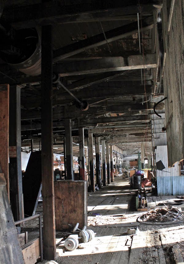
I know I have a shot of the old trestle that used to hang over this site as it crossed the river between the Francis Cabot Lowell mill building and a car wash, stopping just short of the Cooper Street site in question. But I can't find it. I did dig up a shot I took of the trash that used to fill the site where the DCR is now building the boardwalk.

Observant Backside fans will recall I posted this shot in January 2011. Who tosses a perfectly good acoustic guitar down a hill?

So, with the state beautifying the area just across the river from the Cooper Street property and tearing down the old trestle (which I suppose some saw as an eyesore; I thought it gave a nice patina to the area), I imagine there will be pressure to settle the differences over the cleanup and move forward to put the old Waltham Gas site to some sort of use.

Here's a Google Maps view of the property (first time here on the Backside that I've tried this).

The site in question sits directly behind (or above, in this map) the building marked Ristorante Marcellino. Just under the white box in the upper left corner that I wish I could get rid of, there is the outline of what I believe was a rather large gas tank.

I understand the City of Waltham would like to use this area to expand parking, but it would be nice if it were used as pure green space.

Cape Cod Lobster Joint Can't Claw Its Way Back to Life

From Dave Brigham: Lobster shacks and Cape Cod go together like Cape Cod and lobster shacks. But the unimaginatively named American Lobs...