From Dave Brigham:
In April, I ventured to the Grafton Flea Market, searching for vintage wooden boxes I could use to showcase prints of my photos at arts and crafts events. I had no luck, but did procure three very cool crates not long after at Blue Collar Vintage Salvage, a great place in Leicester, Mass.***
Naturally, prior to my trek to Grafton, I scoped out a place to go backsidin'. That place turned out to be Milford, an old mill town with a population of just over 30,000 located in southeastern Worcester County, about 10 miles north of the Rhode Island border.
After parking in the center of town, along Main Street, I headed east and the first thing that caught my eye was the Milford Opera House.


Opened in 1881, this Victorian Gothic treasure has served many purposes down through the decades: a music hall, a theater, a racquetball club (!) and offices and shops, including a camera store that I will feature below that unfortunately is no longer in business.
I haven't found any information about the use of this place as a racquetball club, save for a few words from MACRIS, written in 1981: "[T]his lovely building is a racquetball club, where many Milfordians spend many happy hours. They can still enjoy the foyer that once part of the music hall, and many people enjoyed it in years gone by."
I passed several old buildings featuring small retailers, barber shops and churches, many catering to the growing Hispanic population (nearly 20% as of 2024). Then I spied a massive municipal building that was built in the middle of one of Milford's population explosions, as new industries took hold.

"The building is located in the center of the business district and is by far the most prominent building in the main street area," MACRIS reports. "The construction of the town hall out of wood and not granite makes it unique to the other town buildings. Milford's pink granite has played an important role nationally as a source of beautiful yet durable building medium. All of the other main public buildings are constructed out of Milford's granite, except for the town Hall (sic). This exception is important, for the building is a fine example of a wooden Italian Renaissance style."
The building rose in 1855. Five years later, "Milford pink granite was discovered, starting a long and successful quarrying industry in town," according to the town's 2025 Comprehensive Plan. "Milford saw the greatest growth in industry and population between 1830 and 1870," the plan indicates. "Between those four decades, the population increased from 1,360 to 9,000 people. Part of this population growth was fueled by the arrival of migrants from Ireland, who found work in the expanding boot and shoe industry as well as the emerging granite quarrying industry."
By the 1920s, the town had 16 quarries operating, with more immigrants arriving, many from Italy. "As the population increased and the town became wealthier, Milford saw a building boom. By the 1870s, the central village had become a distinct commercial district with multistory commercial brick building blocks and diverse establishments such as breweries, bakeries, and banks," the plan continues.
"The Great Depression led to the closure of several industrial businesses in Milford, including the Milford Iron Foundry, various shoe factories, and the quarries," according to the plan. "The population continued to grow, albeit slowly, between 1915 and 1940." During the 1980s, the town's Brazilian population grew.
Now that I've provided a history of the town's industrial and immigration growth, let's back to the buildings.

I doubled back on the opposite side of Main Street after seeing the town hall. I'd spied the old Rosenfeld Garage building as I walked east on Main Street, so I went back for a closer look.
This building on Spruce Street was home to the same business for at least 60 years, based on the "year constructed" date that MACRIS provides (1925), and the web site's 1986 write-up indicating that the garage was being run by the third generation of the family. Under renovation on the day I happened by, the building in more recent years was occupied by Gasco Auto Service, NAPA Auto Parts and Goodyear Tire Center. I'm not sure who the current tenant is.
Walking just a short distance west on Spruce Street, I looked up the hill and saw the magnificent Memorial Hall standing tall and proud along School Street.

Completed in 1884, this Richardsonian Romanesque beauty is currently home to the Milford Historical Museum, which has one of the finest displays of Civil War artifacts in the country, per the town's historical commission. "The large turret on the left of the building houses our large circular staircase made of our own Milford granite and each step is engraved with the name of a major battle of the Civil War and the name of its donner (sic)," according to MACRIS. "There are 23 steps. The large vestibule is made of oak and each side contains a marble plaque inscribed with the names of those who servered (sic)."
"The building was constructed in 1884 to serve multiple purposes: a free public library, meeting hall for the local Grand Army of the Republic (GAR) lodge, and most importantly, a memorial to honor the Civil War soldiers and sailors of Milford and nearby Hopedale," according to this Buildings of New England post.
Heading south-southwest on School Street, I found myself back at the old opera house. I was excited to see a sign on the Pine Street side of the building for a camera shop.

I was sad, however, to learn that about a month after I made this photo, Morin's Studio & Camera Shop closed up after more than 100 years in business.
Across Main Street from the opera house is one of several one-story commercial buildings located downtown.

When I found out on MACRIS that this building -- evidently two buildings stitched into one -- is known as the Blunt Block, I laughed to myself and thought of rap videos I've seen where crews are smoking blunts, aka a cigar that has been hollowed out and packed with weed.
(WARNING: This video is not safe for small pets or young children, nor for work, school or church.)
Then MACRIS tossed me this curious and, evidently, coincidental tidbit: "The earliest records that we have of this building show it being Milford's largest cigar manufactuer (sic)." The company was called Hale's Cigar Factory. The original owner was AJ Blunt, according to MACRIS. How's that for serendipity?
Current tenants include a convenience store, a karate studio and a church.
Further south, on the east side of Main Street, is one of several storefront churches I saw.

Milford Assembly of God is located in what appears to be a former bank, although I've been unable to confirm that. The house of worship, which I believe ministers to a Brazilian immigrant congregation, has been here since at least 2008, per my review of Google Street View.
I continued south on Main Street, then cut up Park Street, past Draper Memorial Park, which is located on land donated in the early years of last century by Susan Preston Draper. The small park features a statue -- fashioned by Lincoln Memorial sculptor Daniel Chester French -- of Gen. William Draper, Susan's husband. I did not make a photo of any of that.
I continued along Main Street, where the rear of an old fire station caught my eye.

I made an image of the front, located along South Main Street, a few minutes later.

"This firehouse was built in 1852 to house the new hook and ladder," according to MACRIS. "This company was call (sic) 'the Excelsior Hook and Ladder Company.'" As often happens when I'm researching my blog posts, I ran into conflicting information about the build date for the South Main Street Fire House. In this Patch article from December 2010, Deputy Fire Chief William Touhey said the station was built in the early 1900s.
""It was put in 'mothballs' around the year 2000," Touhey told Patch. "Then, when we rebuilt the Spruce Street station, it was reactivated until the construction was completed. When that was done, in 2003, the South Main Street station went into 'mothballs' again."
Regardless of when the fire house was erected, the property has sat largely unchanged since the town sold it in 2010. "Until the sale to [Jose] Ferreira, the building served as a storage center for the police and fire departments," the Patch article continues. " The sale was predicated on Ferreira's agreeing to convert the station to a multi-use building, with the bottom floor given over to commercial use, while the upper level would be turned into a housing unit. That plan was abandoned, however, as a result of neighborhood concerns. The major hurdle was the lack of available parking space for a commercial business."
The Patch article indicates that the property eventually was found to be deed-restricted to be only a single-family home. More than a decade and a half later, I'm not clear on whether there are any residents living here.
Across Main Street from the rear of the old fire station is an auto body shop with an eye-catching back entrance.

I'm unsure of the name of this joint; the town's assessor's database says the building dates to around 1900. Most of the cars in the shop's lot were modern; the two below, however, are gorgeous classic American cars.

(Mercury Comet, from the early- to mid-'60s.)

(Ford Ranchero from the early- to mid-'60s.)
At the corner of Main and Taylor streets sits this little building with sad red eyes.

For many years there was a business here called Cats II, which sold "specialty & promotional items," according to a sign that hung there that I saw on Google Street View. The sign below is from the side of the building.

K&S Painting was located here more recently, but I believe the business is no longer located here.
At this point, I turned back north on Main Street. One of the reasons I enjoy exploring old mill towns such as Milford is to see how these former centers of industrial strength are finding ways to grow and thrive after what may have been some lean times. A lot of the new energy in these towns comes from small businesses, many of them started by relatively new immigrants.
One type of business I've noticed in the towns and cities that I explore is tap rooms and affiliated operations. The Rail Trail Flatbread Company, sister to an outfit located in the town of Hudson, offers pizza, burgers and tacos, among other food, and also features 20 beer taps and additional options in cans and bottles. "[O]ur friends brew some really creative craft beers," the owners indicate on the web site.

Rail Trail is located in the Thayer Block, in a space previously occupied by Home National Bank of Milford and a branch of Rockland Trust Bank. This attractive building combines white brick with green marble from Vermont, according to MACRIS. The clock you can see at the right of the photo is "one of the remaining clocks made by the McClintock-Loomis Clock Company or successive company, O.B. McClintock Co., which specialized in sidewalk clocks for banking and financial institutions," according to this Buildings of New England post.
Next, I pointed myself east along Central Street, as I'd spied some old mill buildings.


The front (top) and rear (bottom) of what was originally known as Claflin and Thayer Shoe Factory. Built in 1871, this brick and fake stone (according to MACRIS) building in succeeding years was occupied by the Wilkinson Straw Hat Shop, the Rockingham Hotel and Stone's Furniture Store. In more recent years, as you can see in the second image, it was home to a Taylor Rental franchise.
I have a hard time imagining a former shoe factory being converted to a hotel, what with all the heavy machinery to be removed. MACRIS indicates at that time, the building had what is believed to be Milford's first elevator.
A short distance away is a related building, which, like the one above, dates to 1871.

MACRIS calls this one the Aaron Claflin Shoe Factory Building. Buildings of New England says Claflin and Thayer was "a leading boot and shoe manufacturer" in Milford, while MACRIS indicates this building is the only one on Central Street made from Milford granite, and one of the oldest along this old industrial strip.
The name Claflin and Thayer lives on in a clothing company started by the great-great-great granddaughter of the former boot company's founder. "My dad's great-great-grandfather started the original Claflin, Thayer & Co. in 1830 as a boot and shoe manufacturer in what is now Tribeca [in Manhattan, New York]," Liz Thayer tells a publication called Local Electric in this 2017 article.
While other sources online indicate the company was founded in the 1850s in Milford, I assume this is the same operation. Thayer continues: "The business was a family affair for over a hundred years until it closed down under my great-grandfather's management during the Great Depression. I think it's neat that I have fallen into the same work, so resurrecting the family name seemed like a given to me."
Claflin, Thayer & Co. sells outerwear and leather goods.
I mosied along, stopping to make a photo of the pleasant front of Nelly's Sandwich Shop.

The family-owned business has been making sandwiches and soups since 1997.
In the near distance, I could see what I thought was an old train station. It is indeed exactly that.

Now occupied by Countryside Discount Liquors, the old Milford Railroad Depot is located in a largely industrial area where the old railway right-of-way has been torn up. It was built in 1909 out of local granite, according to this Flickr post, which contradicts the above statement by MACRIS that the old shoe factory is the sole local granite survivor on this street.
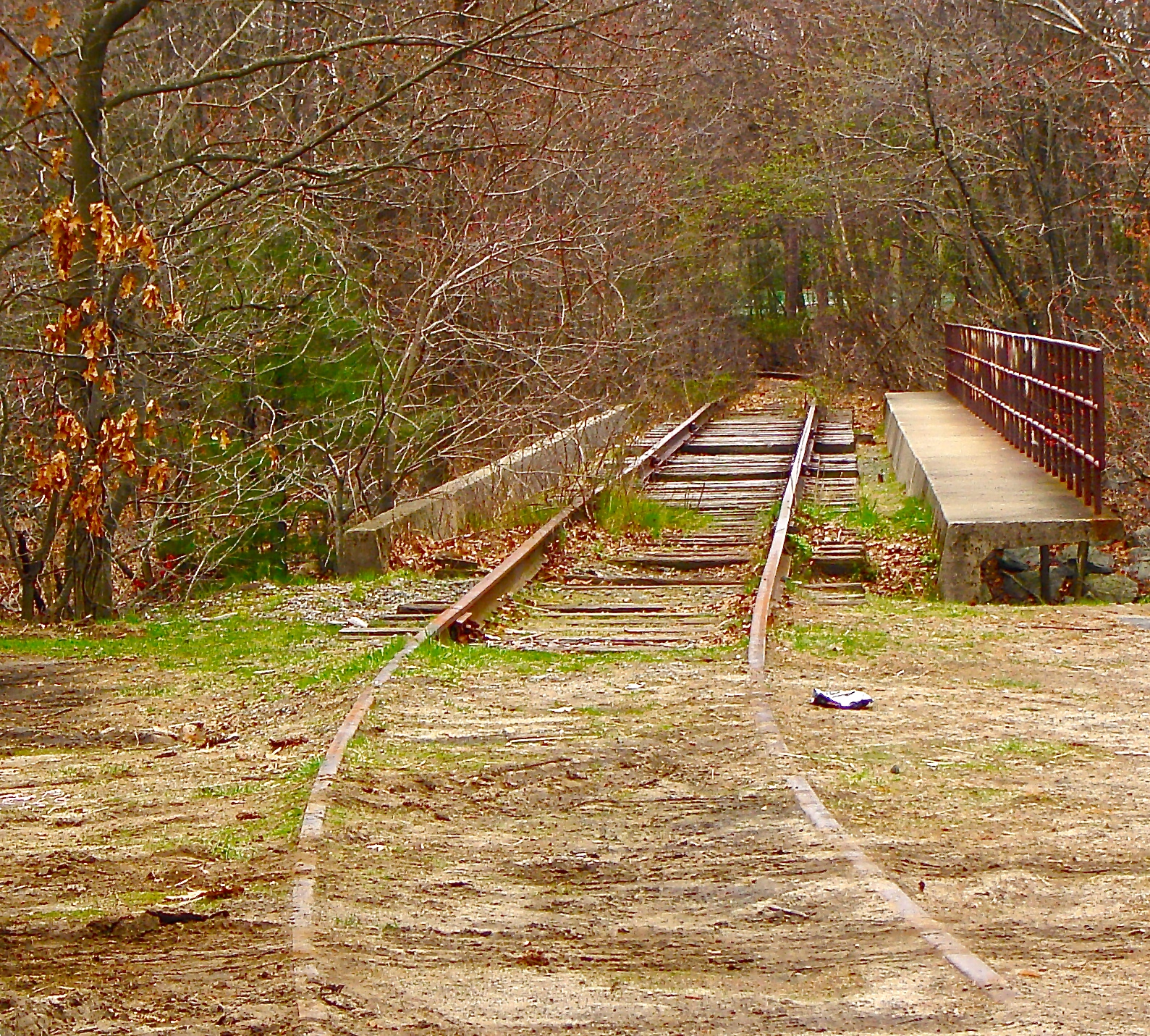
The station was originally part of the Milford Branch of the Boston & Albany Railroad, according to this Waymarking post, which also pegs the built date to around 1890. Flip a coin.
"Passenger service remained on this line until 1959," the Waymarking article continues. "Penn Central, which eventually took control of the line, abandoned it in 1972."
My final stop in Milford was directly across my parking spot on Main Street.

The Gillon Block (aka the Ring and Welch Building) was built in 1888. The gorgeous Queen Anne building was erected by Patrick Gillon, who was a significant bottle manufacturer, according to MACRIS. Buildings of New England indicates that Gillon inherited his late-father’s distillery and bottling business.
Current tenants include a realtor and a mobile-phone store, but unfortunately not Manhattann's, which was a bar and restaurant whose sign is still on the building.
That's a wrap on Milford....
***I used those crates on May 31st at the Harvard Square MayFair, which marked the debut of Dave Brigham Photography in the public square. I was very happy to make a few sales and chat with many fairgoers. I will display my prints at other shows in the future, including at the Brighton Bazaar's New Digs: A Market for the Recently Moved at the Charles River Speedway in Brighton on September 5.