Showing posts with label building. Show all posts

Friday, November 1, 2019

In SoWa, Connecting Past and Present at Reed's Block

From That Same Old Guy:

Located in Boston's art-centric SoWa neighborhood, the former Reed's Block building is immense and has a cool, vibrant history that connects nicely to its present-day functions.

"Reed's Block is probably the earliest example in Boston of a building designed specifically to house a variety of small industrial firms," according to this 1995 South End Historical Society Newsletter. Completed in 1881, the building is 634 feet long, 50 feet wide and four stories tall.

Among the early tenants of Reed's Block were a piano manufacturer and a buttonhole machinery company, per the historical society's newsletter. In all, there were roughly 40 small manufacturing companies here in the building's heyday. While there don't appear to be any manufacturers here today, there are several art galleries -- Abigail Ogilvy Gallery, Fountain Street Gallery, Galatea Fine Art, Alpha Gallery -- in addition to artist agency Canvas Fine Arts, other businesses and some apartments. I have no idea what went on here before the galleries took over many years ago. I'm guessing there were other small businesses and possibly some period of time when Reed's Block may have been empty.

The number of galleries isn't surprising, given that SoWa (South of Washington) has long been home to artists of all sorts, from painters and sculptors to those working in ceramics, clothing and furniture, as well as boutiques, funky restaurants and vintage shops. The neighborhood is home to the SoWa Open Market, where 175 creative types of all sorts sell their wares amid food trucks and musicians each Sunday from May to October.

From the official SoWa web site:

"If Boston was a person, SoWa would be its creative side. Its independent streak. Its curiosity. Because here imagination has created a corner of the city filled with the eclectic and the unexpected. Where one-of-a-kind restaurants, galleries, and small business are run by one-of-a-kind people. Where food is sold by farmers, beer sold from barns, and art is sold where art is made. People don’t just visit SoWa. They live it. They taste it. They experience it. Explore your creative side. Explore SoWa."

I've only been to the SoWa Market once, but I hope to get there on a more regular basis. For more about this artsy area of Boston's South End, see June 29, 2019, "Back Streets, Oh Boy."

Thursday, May 25, 2017

Duke City Downtown

From Dave Brigham:

In the first post about my recent trip to Albuquerque, New Mexico, I wrote about the place where I lived with some friends 29 years ago, and some of our hangout spots (see May 24, 2017, "The Land of Enchantment"). In this installment in my three-part series, I'll cover some cool things I saw downtown on an early-morning walk.

I was happy to see that El Rey Theater is not only still standing, but also active. My friends and I saw the Rollins Band here back in 1988 during our three-month stay in the Duke City. Built in 1941, the theater closed for a time in 2014 after the owner had money problems, according to reports I read online. For a little history of El Rey, check this link on the theater's web site.

Albuquerque is known for its murals.

This set is located on the patio of a former Studebaker Automotive Company dealership and garage, now home to Boese Brothers Brewery. Our visit was too quick. Next time I'll hit this place.

"The City of Albuquerque's Public Art Program, one of the oldest in the country, began in 1978, with the passage of the Art in Municipal Places Ordinance. This bold initiative set aside 1% of city construction funds derived from the general obligation bond program and certain revenue bonds for the purchase or commission of works of art." -- from VisitAlbuquerque.com.

Murals feature Native American images, train conductors, old cars and historic buildings, trees, peace signs, traffic jams, street scenes, civic celebrations, hallucinations, classic motel signs, and much, much more. Below is one of many that caught my eye, and one of the few in decent light at that early hour.

The mural, in part, depicts the Alvarado Hotel, which was torn down by the Santa Fe Railway in the 1960’s. The mural also shows how some, probably most, people felt about that demolition. For more on the once-grand hotel, read this Santa Fe New Mexican article.

For more on the city's murals, read this article and also this one.

The Century Theatre sign isn't historic or even made of neon (I don't think) but it looks really cool, especially at sunrise. The complex was constructed as the first phase of the Downtown Revitalization plan led by Hartman + Majewski and the Historic District Improvement Company. Century traces its history to 1940; the company was acquired by Cinemark in 2006.

I would have loved to have spent much more time wandering through Albuquerque's downtown. The architecture is quite different from what I see around Boston, more colorful and constructed with different materials and with much better signage. I was a bit concerned being in a strange environment so early in the morning -- just me, the birds and the bums, I told myself. Also, I needed to get back to my hotel to start waking up my traveling buddies for that day's adventure, which I'll chronicle in the final post of this three-part series.

Rosenwald Brothers department store was built in 1910 and added to the National Register of Historic Places in 1978, per Wikipedia. It is now office and municipal space.

The Yrisarri Block was erected in 1909, and sits across the street from the Rosenwald building. I love the colors and architectural details on this place, which houses several small businesses, including a bar called Downtown Distillery. The block was formerly home to Maisel's Indian Trading Post. For more details about the Rosenwald and Yrisarri buildings, check this link.

Finally, the Telephone Museum of New Mexico, a place that surely would've been worth a visit. I dig the sign, and its juxtaposition with the "Big Brother" video camera.

The last installment of this mini-series will focus on my visit to some historic ruins an hour north of the city.

Monday, November 21, 2016

The Buildings That Time Forgot

From Dave Brigham:

I haven't posted as much about the backside of downtown Boston as I could have over the years. Usually when I'm in the city it's on a subway trip with my son, Owen, and I have limited time to seek out the abandoned, forgotten and dilapidated. For a list of posts about the Hub, see the end of this post.

Recently, however, I was on the city's wonderful Rose Kennedy Greenway with Owen and a few of his friends, and was able to snap pictures of two old buildings, one that's in a tight squeeze, and one that's been knocked to its knees.

Built in 1899, this four-story Financial District building has an electricity substation right next door. I remember walking past this place 20 years ago when I worked in the area, and marveling at how out of place it looked even then. Now, with skyscrapers rising downtown and in the Seaport District, this place is even more of an anachronism.

To see what it looked like when I was a younger man, read this 2007 article (which is truncated unless you're a subscriber) and look at the photo, which indicates a hardware store closed in 2006 when the owner died.

The current owner of the building set a selling price of $16 million four years ago, according to a 2012 Boston Business Journal article. That mark represented more than 28 times what the owner paid just a year prior, the article indicated. To be sure, real estate in this area, close to the Greenway, the harbor and the Seaport District, has shot up in value in recent years. But what can you do with this building or its footprint?

I couldn't find any news or real estate updates about the place. Maybe a pencil tower will rise here one day.

This is the other building I photographed, which I also recall from my days working downtown. While the hardware store surely has some good memories tied up in it, and certainly once fit more seamlessly into its neighborhood, there's no doubt that the building above, on Broad Street, was an important part of this area.

Most recently this building and the one next to it were home to The Littlest Bar and The Times Irish Pub & Restaurant. I never went to either, although I did go to The Littlest Bar in its original location in Downtown Crossing many years ago. The Times is moving to 99 Broad Street, not too far from another well-known bar, Mr. Dooley's. The Littlest Bar may move to a new location, although that announcement hasn't been made.

Built in 1805 and located hard by the Greenway, the Bulfinch building was originally a warehouse for goods coming off nearby wharves (back before the city installed fill to make itself bigger), according to this Boston Globe article, which you should read. According to the article, the outside of the building was declared a landmark, but the interior wasn't, because it had been changed significantly over the years.

After negotiating with the city's Landmarks Commission, the developer, New Boston Ventures, agreed to keep the portion of the building that you see above, and to incorporate it into a 12-story condo development (read the Globe article to see an artist's rendering of the new building married to the old structure).

Boston used to be known for cool bars in old brick buildings, and there certainly are some of those left. But it's a new millennium and the city is thriving and growing and glass and metal are of course the favored mediums. I'm glad the Landmarks Commission made the developer keep at least a part of the city's history intact, but it will be nothing more than a mere curiosity for residents, visitors and tourists unaware of the building's importance to Boston's past.

As promised, here's a list of other downtown Boston posts from over the years:

August 30, 2010, "Going Underground," about a trip on the subway with my son.

January 25, 2014, "Last Building Standing," about a remnant of the old West End.

August 19, 2015, "Misfit Garage," about a municipal garage slated to be torn down soon and replaced with yet another high-rise condo building.

October 19, 2012, "Window Dressing," about the former Dainty Dot Hosiery building.

February 10, 2011, "Up From the Basement?," about the long-empty hole where Filene's Basement once stood, and which is now a high-rise.

Friday, June 3, 2016

I Seek Newton, Part IV: Waban

From Dave Brigham:

Named for a 17th century chief of the Nonantum Indian tribe, Waban is one of the least commercialized villages of Newton, Mass. I knew I wasn't going to find graffiti-covered factory walls, abandoned mills or cars rusting in the woods of Waban, one of the toniest zip codes around, but I was confident I'd find something backside-y and worth your visit to this blog.

This is the fourth post in an ongoing series about my adopted hometown. Here are the three prior installments:

May 21, 2015, "I Seek Newton, Part I: Lower Falls"

September 20, 2015, "I Seek Newton, Part II: Auburndale"

March 23, 2016, "I Seek Newton, Part III: Highlands"

Waban's commercial zone is small, but has some cool buildings with good back stories.

Strong's Block, the primary commercial building in Waban, was built in 1896. It was named after William C. Strong, a tree farmer and developer who was instrumental in securing the right of way through Waban for the construction of the Highland Branch of the Boston and Albany Railroad.

(Detail from Strong's Block building)

Now home to a Starbuck's, an ice cream store and a shoe repair shop, the building formerly known as Waban Hall was built in 1890. It once was a school, and also featured small shops before being "renovated." According to the Newton Villages Alliance, the hall was also host to Waban Improvement Society meetings in years past.

(Waban Hall today)

Here's what the hall looked like back in the day.

(Photo from Newton Villages Alliance web site)

Heading east on Beacon Street, the main thoroughfare in Waban, I came across the former St. Philip Neri Church.

Built in 1930, the building housed a Catholic church for decades, until the Archdiocese of Boston closed it in 2007. A Korean congregation used the building until late 2014, I believe.

A developer has been talking about demolishing the church and building homes here for quite some time. After hearings, discussions with neighbors and at least one return to the drawing board, the developer has scaled the proposed project back from 48 units -- 12 townhouses and a 36-unit apartment building -- to 10-12 apartments and two single-family homes, according to the Newton Tab.

As I said up top, I knew I wouldn't find too much in the way of typical Backside features in Waban, but I was taken aback when I spotted this broken window in the rear of the church.

The church is located on a busy street, near a busy intersection, amid homes assessed at between $750,00 and $2.4 million, just down the street from the Windsor Club, a neighborhood social club whose history dates back a hundred years. Shuttered churches with smashed windows allowing easy access to vandals and adventure seekers aren't featured on realtors' web sites for this area code.

At least the doors seem secure.

While this village doesn't have visible dilapidation or rust, it does have old aqueducts, which I'm quite drawn to (see November 11, 2011, "History Flows On, Part I," and May 18, 2012, "Aqueduct, My Friend").

The Cochituate Aqueduct was built between 1846-48 and conveyed water from Natick's Lake Cochituate through several towns before reaching its final destination, Boston. The aqueduct was taken out of service in 1951, replaced by other systems.

(Path following the course of the old Cochituate Aqueduct, right through the backyards of some very nice homes.)

(Stone marker along the aqueduct path. I'm not sure what it indicates; perhaps telephone lines?)

(Locked entry into the aqueduct.)

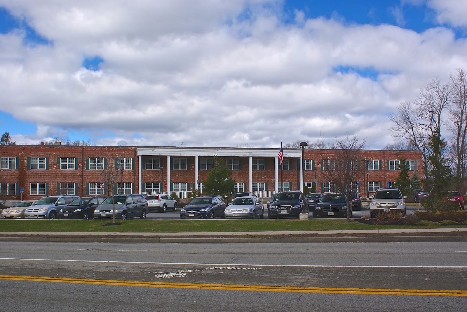
At what I initially believed was the western fringe of Waban, a nursing home sits where the Woodland Sand & Gravel Co. was once located. After consulting ZipMap online, however, I learned that this site is actually part of Lower Falls. Since I missed this in my previously cited post on Lower Falls, I'll mention it here.

The gravel business comprised approximately nine acres. I have found no other information about the company.

Almost directly across the street from the old sand and gravel site stands this striking building, the former Fire Station 6.

Built in 1917, the firehouse was decommissioned in the late '60s. In subsequent years it was used for a number of purposes, including as a space for a Boy Scout troop and an office for a hospice. More recently, however, this beautiful building was the source of controversy in Waban.

Three years ago, the City of Newton aligned with Pine Street Inn, arguably the most well-known homeless shelter/job training/low-income housing advocate in Boston. The partners agreed to convert the station into permanent housing for nine chronically homeless people and one supervisor. At a meeting in the summer of 2013 held by Pine Street Inn and its partner, Metro West Collaborative Development, however, residents asked many angry questions about what types of people would live there. It was a classic "not in my backyard" scenario, with some well-to-do Wabanites professing to care about homeless people, but having no desire for them to live amongst them.

Long story short: the project was eventually scuttled and now three condos are being developed in the old station. For the whole story, read this excellent Boston Magazine article.

Just behind the fire station sits Neshobe Road, which appears as though it was washed out a long time ago.

There is a road like this close to my home in Newtonville. I take pleasure in the fact that there are broken-down side streets in a city filled with so many busy thoroughfares.

Newton-Wellesley Hospital is in this area of Waban, as well, but ZipMap places it in Lower Falls as well. The Woodland T stop is right on the border with Auburndale, as is the old water tower below.

I love how the tower looms over the parking lot. I always think of "War of the Worlds" when I see towers like this, because some residents of Grover's Mill, New Jersey, who didn't realize the Orson Welles radio play was fictional, mistakenly thought a water tower in their town was an alien invader. I wrote a little more about this tower a few years ago (see June 27, 2011, "War of the Worlds.").

Finally, a trip down by the Charles River.

I love any area where two different environments bump into one another, be it a blue-collar neighborhood rubbing up against million-dollar homes, the ocean lapping on a beach or walking paths along a river. In this latter scenario, I feel a part of history, and I imagine the Native Americans and colonists before me treading these paths looking for fish or game, or engaging in or attempting to avoid a confrontation.

In recent years, a group of Waban and Upper Falls citizens decided to reclaim this area of the Charles, which runs between Routes 9 and 128/95 and looks over at neighboring Wellesley. Calling themselves the Friends of the Quinobequin (so named for the Native American word for the river, and for the roadway that runs alongside at this point), the group clears trash, cuts away harmful vines and maintains a path and short lengths of boardwalk that cross small streams as they head into the river.

This web site features great photos of the wildlife one sees along the trail.

Here's a shot of some type of sewer/drainage structure along the path.

So there's Waban. Keep an eye out for the fifth installment, which will feature Oak Hill, another quiet village that at first seemed like it would present difficulties to this Backside seeker.

Way Down Yonder in Pawtucket, Part I

From Dave Brigham: I apologize in advance for this, but I often feel the need to explain my headline choices: I'll admit that befo...